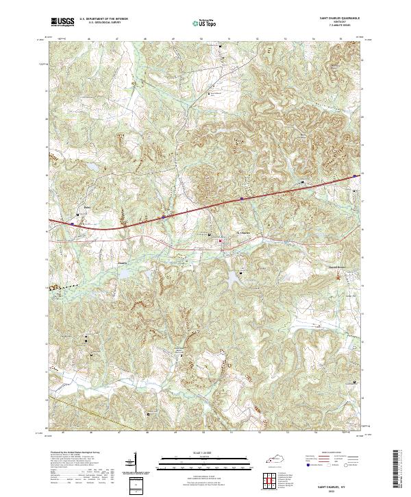
2022 Map of Saint Charles
USGS Topo · Published 2022About this map
St. Charles and the surrounding mining country of Hopkins County are characterized by a landscape of small settlements and family-named ridges and hollows. The presence of Homestead Mine Rd, Hughlette Mine Rd, and Zug Mine Rd reflects the deep coal-mining heritage of this region, while names like Daniel Boone and Hamby indicate long-established crossroads communities. Numerous burial grounds and houses of worship, such as Union Temple Ch and Christian Privilege Cem, are scattered among the hills, serving as essential landmarks for genealogical research.
Find a feature on this map
78 named features on this map. Tap any name to fly to it.
Don’t see what you’re looking for? This feature index may not catch every label — zoom into the map to look around manually.
Map Details
Editions of this 2022 Saint Charles Map
This is the sole edition of this map. No revisions or reprints were ever made.
Other maps of this area

1907 · Earlington
USGS Topo · 1:48,000

1909 · Dawson Springs
USGS Topo · 1:48,000

1909 · Earlington
USGS Topo · 1:62,500

1909 · Madisonville
USGS Topo · 1:62,500

1911 · Dawson Springs
USGS Topo · 1:62,500

1912 · Nortonville
USGS Topo · 1:62,500

1952 · Crofton
USGS Topo · 1:24,000

1953 · Dawson Springs SE
USGS Topo · 1:24,000

1953 · Nortonville
USGS Topo · 1:24,000

1953 · Madisonville East
USGS Topo · 1:24,000