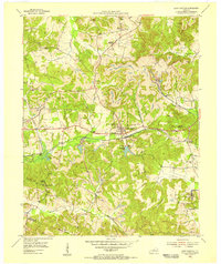
1954 Map of Saint Charles
USGS Topo · Published 1956About this map
Saint Charles sits at the heart of this mid-century landscape, positioned along the Illinois Central railroad line that drove the local coal economy. The survey reveals a region defined by extensive industrial activity, including the Nortonville Strip Mine and several active operations like the Brackett Mine and Williams Mine. These mines are interspersed with a network of rural communities and landmarks, such as Carbondale and the settlement of Daniel Boone.
Find a feature on this map
50 named features on this map. Tap any name to fly to it.
Don’t see what you’re looking for? This feature index may not catch every label — zoom into the map to look around manually.
Map Details
Editions of this 1954 Saint Charles Map
This is the sole edition of this map. No revisions or reprints were ever made.
Other maps of this area

1907 · Earlington
USGS Topo · 1:48,000

1909 · Dawson Springs
USGS Topo · 1:48,000

1909 · Earlington
USGS Topo · 1:62,500

1909 · Madisonville
USGS Topo · 1:62,500

1911 · Dawson Springs
USGS Topo · 1:62,500

1912 · Nortonville
USGS Topo · 1:62,500

1952 · Crofton
USGS Topo · 1:24,000

1953 · Dawson Springs SE
USGS Topo · 1:24,000

1953 · Nortonville
USGS Topo · 1:24,000

1953 · Madisonville East
USGS Topo · 1:24,000