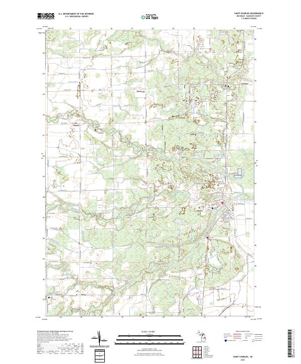
2023 Map of Saint Charles
USGS Topo · Published 2023About this map
The village of St. Charles sits at the confluence of the Bad River and the South Fork Bad River, anchoring a landscape defined by extensive drainage networks and rural townships. This 2023 survey illustrates how water management shapes the Saginaw County terrain through features like Eaton Drain, Webb Drain, and Blackmar Drain. Smaller agricultural settlements and named locales such as Roosevelt, Nelson, and Garfield are dispersed across the quadrangle, connected by a grid of farm-to-market roads like Spencer Rd and Roosevelt Rd.
Find a feature on this map
69 named features on this map. Tap any name to fly to it.
Don’t see what you’re looking for? This feature index may not catch every label — zoom into the map to look around manually.
Map Details
Editions of this 2023 Saint Charles Map
This is the sole edition of this map. No revisions or reprints were ever made.
Other maps of this area

1917 · Chesaning
USGS Topo · 1:62,500

1917 · St. Charles
USGS Topo · 1:62,500

1918 · Elsie
USGS Topo · 1:62,500

1934 · Merrill
USGS Topo · 1:62,500

1937 · Merrill
USGS Topo · 1:62,500

1943 · Chesaning
USGS Topo · 1:62,500

1943 · St. Charles
USGS Topo · 1:62,500

1943 · Elsie
USGS Topo · 1:62,500

1954 · Midland
USGS Topo · 1:250,000

1958 · Midland
USGS Topo · 1:250,000