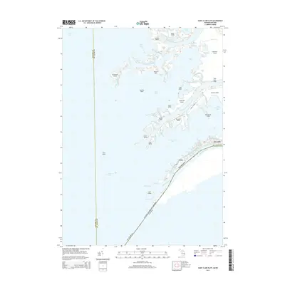
2014 Map of Saint Clair Flats
USGS Topo · Published 2014About this map
The delta complex of the Saint Clair River unfolds across this map, showcasing the intricate network of channels and islands where the river meets Lake Saint Clair. Settled areas like Miller and Riverside cling to the narrow banks of the Saint Clair River, positioned along the international border between the United States and Canada. The landscape is defined by a maze of waterways, from the Middle Channel Saint Clair River to the Old Channel, separating massive landforms like Harsens Island and Dickinson Island.
Find a feature on this map
67 named features on this map. Tap any name to fly to it.
Don’t see what you’re looking for? This feature index may not catch every label — zoom into the map to look around manually.
Map Details
Editions of this 2014 Saint Clair Flats Map
This is the sole edition of this map. No revisions or reprints were ever made.
Other maps of this area

1905 · Grosse Pointe
USGS Topo · 1:62,500

1912 · Mt Clemens
USGS Topo · 1:62,500

1914 · Algonac
USGS Topo · 1:62,500

1918 · Grosse Pointe
USGS Topo · 1:62,500

1929 · Mt Clemens
USGS Topo · 1:62,500

1936 · New Haven
USGS Topo · 1:31,680

1936 · Selfridge Field
USGS Topo · 1:31,680

1936 · New Baltimore
USGS Topo · 1:31,680

1936 · Algonac
USGS Topo · 1:31,680

1939 · New Baltimore
USGS Topo · 1:24,000