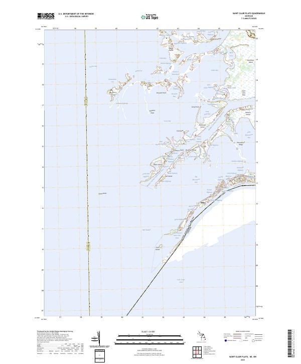
2023 Map of Saint Clair Flats
USGS Topo · Published 2023About this map
The Saint Clair Flats delta complex defines this aquatic landscape where the St. Clair River meet the open waters of Lake Saint Clair. This environment is characterized by an intricate network of waterways known locally as highways, such as Big Fisher Highway and Scotten Highway, which serve as the primary thoroughfares between low-lying land masses like Harsens Island and Dickinson Island. The international boundary between the United States and Canada runs directly through these channels, illustrating the geographic proximity of Ontario to the Michigan shore.
Find a feature on this map
86 named features on this map. Tap any name to fly to it.
Don’t see what you’re looking for? This feature index may not catch every label — zoom into the map to look around manually.
Map Details
Editions of this 2023 Saint Clair Flats Map
This is the sole edition of this map. No revisions or reprints were ever made.
Historical Maps of Middle Island Through Time
38 maps found

1928 Hicky
St. Clair County, MI

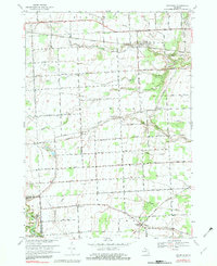
1936 Rattle Run
St. Clair County, MI

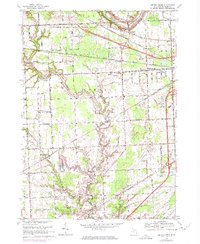
1939 Adair
St. Clair County, MI

1939 Goodells
St. Clair County, MI

1939 Smiths Creek
St. Clair County, MI

1939 St. Clair Flats
St. Clair County, MI
1942 Rattle Run
St. Clair County, MI

1945 Allenton
St. Clair County, MI
1949 St. Clair Flats
St. Clair County, MI

1952 Adair
St. Clair County, MI

1952 Allenton
St. Clair County, MI
1952 Goodells
St. Clair County, MI
1952 Rattle Run
St. Clair County, MI

1952 Smiths Creek
St. Clair County, MI

1952 St. Clair Flats
St. Clair County, MI
1961 Avoca
St. Clair County, MI
1961 Brockway
St. Clair County, MI
1968 Adair
St. Clair County, MI

1968 Allenton
St. Clair County, MI
1968 Goodells
St. Clair County, MI

1968 Rattle Run
St. Clair County, MI
1968 Smiths Creek
St. Clair County, MI
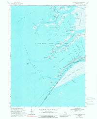
1968 St. Clair Flats
St. Clair County, MI

1981 Lake St. Clair North
St. Clair County, MI

1991 Adair
St. Clair County, MI

1991 Allenton
St. Clair County, MI

1991 Goodells
St. Clair County, MI

1991 Rattle Run
St. Clair County, MI

1991 Smiths Creek
St. Clair County, MI
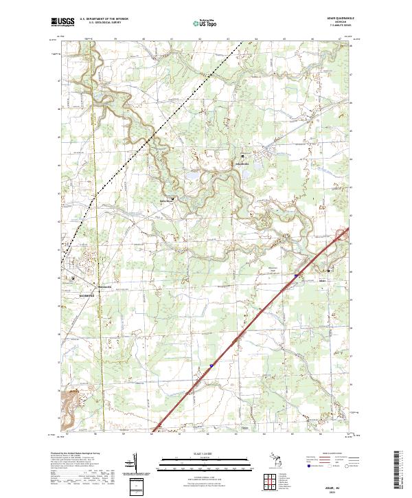
2023 Adair
St. Clair County, MI
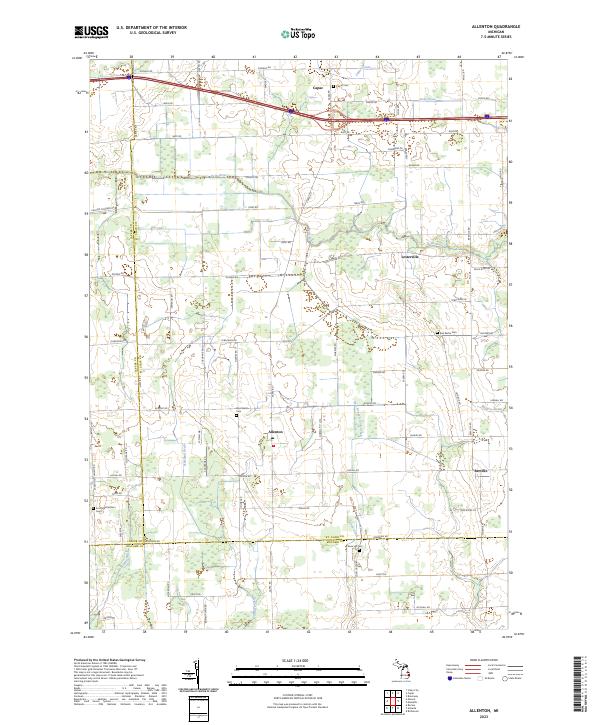
2023 Allenton
St. Clair County, MI
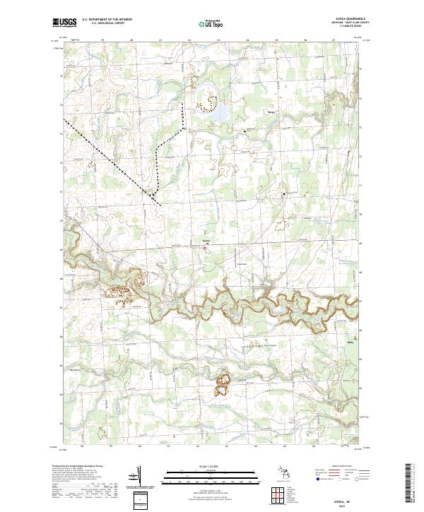
2023 Avoca
St. Clair County, MI
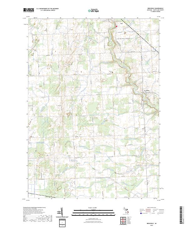
2023 Brockway
St. Clair County, MI
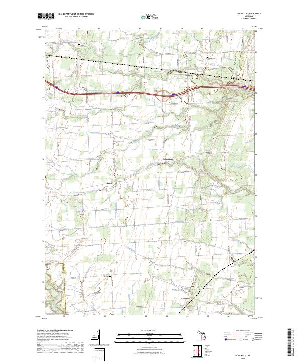
2023 Goodells
St. Clair County, MI
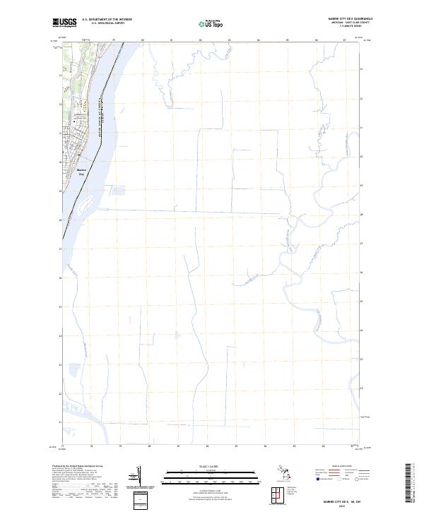
2023 Marine City OE E
St. Clair County, MI
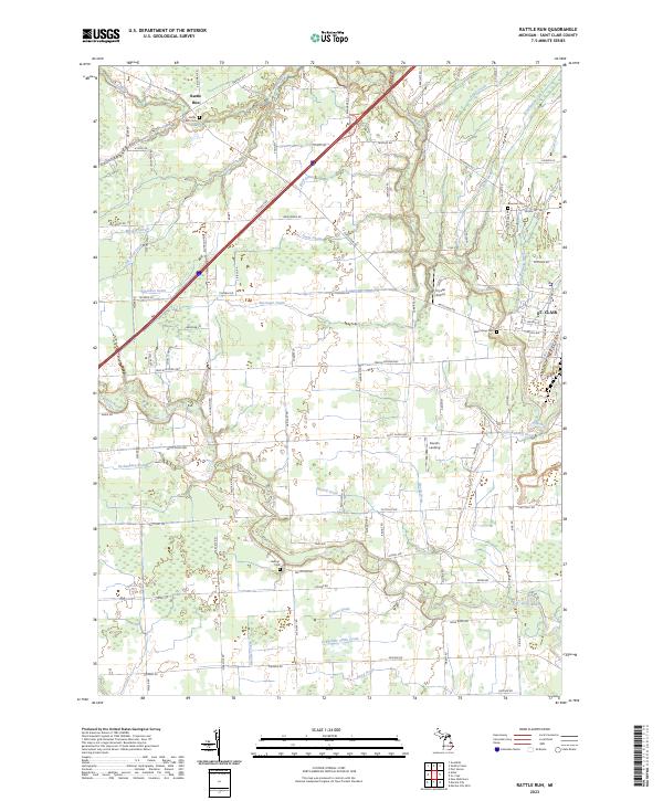
2023 Rattle Run
St. Clair County, MI
2023 Saint Clair Flats
St. Clair County, MI
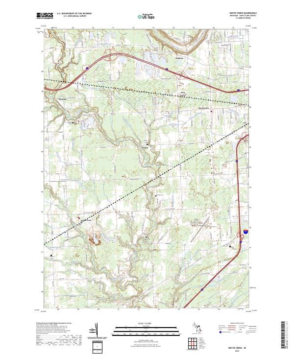
2023 Smiths Creek
St. Clair County, MI
Featured Locations
- Macomb County, MI
- Clay Township, MI
- Middle Island, Clay Township
- Miller, Clay Township
- Riverside, Clay Township