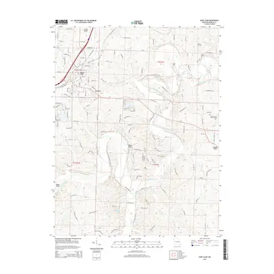
2015 Map of Saint Clair
USGS Topo · Published 2015About this map
Saint Clair serves as a primary hub in this Missouri landscape, where the Meramec River winds through the southern terrain, creating deep bends and narrow valleys. This 2015 survey illustrates a mix of residential growth and established rural landmarks, featuring smaller communities like Parkway and Piney Park. The map documents numerous local burial grounds including Fisher Cemetery and Cove Cemetery, which are essential for genealogical research in this part of Franklin County. Transportation and industry are anchored by the St Clair Regional Airport and a network of secondary roads such as Old Highway K and Walls Ford Rd. The varied topography is defined by features like Lost Hill and Possum Hollow, while the river is fed by numerous tributaries including Gibson Cr and Rye Creek. Religious history is preserved at the Bethel Baptist Church near the eastern boundary.
Find a feature on this map
138 named features on this map. Tap any name to fly to it.
Don’t see what you’re looking for? This feature index may not catch every label — zoom into the map to look around manually.
Map Details
Editions of this 2015 Saint Clair Map
This is the sole edition of this map. No revisions or reprints were ever made.
Other maps of this area

1901 · De Soto
USGS Topo · 1:125,000

1903 · Sullivan
USGS Topo · 1:125,000

1934 · Meramec State Park
USGS Topo · 1:24,000

1937 · Meramec State Park
USGS Topo · 1:24,000

1946 · Richwoods
USGS Topo · 1:62,500

1946 · Union
USGS Topo · 1:62,500

1947 · Sullivan
USGS Topo · 1:62,500

1947 · St. Clair
USGS Topo · 1:62,500

1948 · Richwoods
USGS Topo · 1:62,500

1948 · Union
USGS Topo · 1:62,500