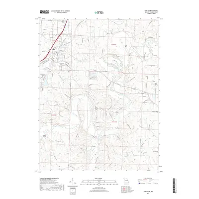
2017 Map of Saint Clair
USGS Topo · Published 2017About this map
St. Clair serves as a central hub on this Missouri landscape, situated where the Bnsf RR and major thoroughfares intersect. The terrain is defined by the winding course of the Meramec River, which carves through the countryside past distinctive landmarks like Lost Hill. To the south and east, the map documents smaller residential pockets such as Piney Park, Parkway, and Mount Hope, illustrating the gradual expansion of local communities into the surrounding river valleys and uplands.
Find a feature on this map
170 named features on this map. Tap any name to fly to it.
Don’t see what you’re looking for? This feature index may not catch every label — zoom into the map to look around manually.
Map Details
Editions of this 2017 Saint Clair Map
This is the sole edition of this map. No revisions or reprints were ever made.
Other maps of this area

1901 · De Soto
USGS Topo · 1:125,000

1903 · Sullivan
USGS Topo · 1:125,000

1934 · Meramec State Park
USGS Topo · 1:24,000

1937 · Meramec State Park
USGS Topo · 1:24,000

1946 · Richwoods
USGS Topo · 1:62,500

1946 · Union
USGS Topo · 1:62,500

1947 · Sullivan
USGS Topo · 1:62,500

1947 · St. Clair
USGS Topo · 1:62,500

1948 · Richwoods
USGS Topo · 1:62,500

1948 · Union
USGS Topo · 1:62,500