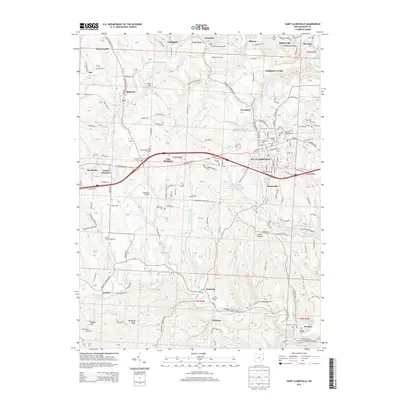
2013 Map of Saint Clairsville
USGS Topo · Published 2013About this map
St. Clairsville serves as the central hub of this Belmont County survey, where the historic National Rd W corridor intersects with modern transport routes. The landscape is defined by the winding paths of Wheeling Creek and McMahon Creek, which have carved out deep hollows such as Coaly Hollow and Coaly Hollow. These valleys historically dictated the placement of small coal-era settlements and rail lines, including the Wheeling & Lake Erie RR which follows the southern creek bed.
Find a feature on this map
207 named features on this map. Tap any name to fly to it.
Don’t see what you’re looking for? This feature index may not catch every label — zoom into the map to look around manually.
Map Details
Editions of this 2013 Saint Clairsville Map
This is the sole edition of this map. No revisions or reprints were ever made.
Other maps of this area

1903 · Flushing
USGS Topo · 1:62,500

1905 · Clarington
USGS Topo · 1:62,500

1905 · St. Clairsville
USGS Topo · 1:62,500

1905 · Woodsfield
USGS Topo · 1:62,500

1905 · Flushing
USGS Topo · 1:62,500

1935 · Clarington
USGS Topo · 1:62,500

1940 · Clarington
USGS Topo · 1:62,500

1949 · Clarksburg
USGS Topo · 1:250,000

1951 · Canton
USGS Topo · 1:250,000

1953 · Canton
USGS Topo · 1:250,000