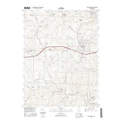
2016 Map of Saint Clairsville
USGS Topo · Published 2016About this map
Saint Clairsville serves as the central hub of this Belmont County landscape, where the academic grounds of the Ohio University Eastern Campus and Belmont Technical College sit alongside established residential areas like Homeside and East Richland. The map reveals a high density of burial grounds, from the Union and Methodist cemeteries in the heart of town to outlying sites like Wesley Chapel Cem and Butcher Cem.
Find a feature on this map
100 named features on this map. Tap any name to fly to it.
Don’t see what you’re looking for? This feature index may not catch every label — zoom into the map to look around manually.
Map Details
Editions of this 2016 Saint Clairsville Map
This is the sole edition of this map. No revisions or reprints were ever made.
Other maps of this area

1903 · Flushing
USGS Topo · 1:62,500

1905 · Clarington
USGS Topo · 1:62,500

1905 · St. Clairsville
USGS Topo · 1:62,500

1905 · Woodsfield
USGS Topo · 1:62,500

1905 · Flushing
USGS Topo · 1:62,500

1935 · Clarington
USGS Topo · 1:62,500

1940 · Clarington
USGS Topo · 1:62,500

1949 · Clarksburg
USGS Topo · 1:250,000

1951 · Canton
USGS Topo · 1:250,000

1953 · Canton
USGS Topo · 1:250,000