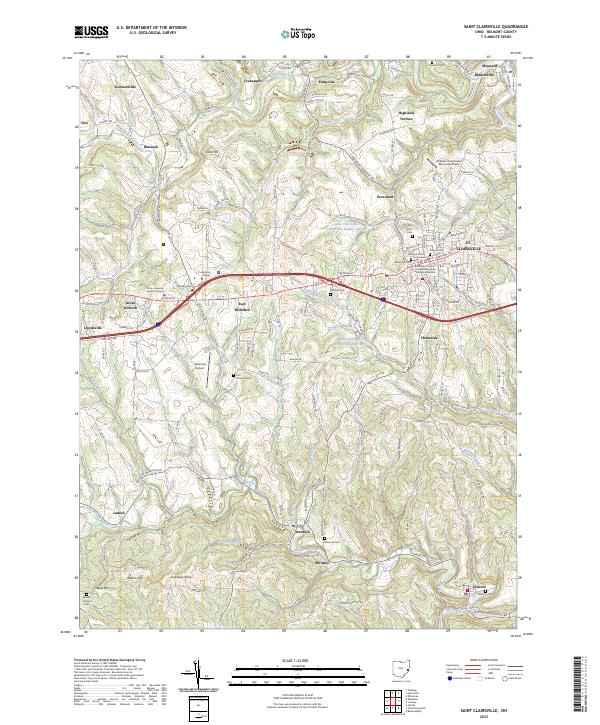
2023 Map of Saint Clairsville
USGS Topo · Published 2023About this map
St. Clairsville serves as the focal point of this Belmont County survey, anchored by the Belmont County Courthouse and its surrounding legal and civic district. The landscape is defined by the ridgelines and hollows between Wheeling Creek to the north and McMahon Creek to the south. Numerous small settlements and suburban expansions like East Richland, Provident, and Homeside are spread along the arterial National Rd, tracing the historical path of westward migration through Ohio.
Find a feature on this map
64 named features on this map. Tap any name to fly to it.
Don’t see what you’re looking for? This feature index may not catch every label — zoom into the map to look around manually.
Map Details
Editions of this 2023 Saint Clairsville Map
This is the sole edition of this map. No revisions or reprints were ever made.
Other maps of this area

1903 · Flushing
USGS Topo · 1:62,500

1905 · Clarington
USGS Topo · 1:62,500

1905 · St. Clairsville
USGS Topo · 1:62,500

1905 · Woodsfield
USGS Topo · 1:62,500

1905 · Flushing
USGS Topo · 1:62,500

1935 · Clarington
USGS Topo · 1:62,500

1940 · Clarington
USGS Topo · 1:62,500

1949 · Clarksburg
USGS Topo · 1:250,000

1951 · Canton
USGS Topo · 1:250,000

1953 · Canton
USGS Topo · 1:250,000