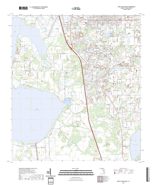
2024 Map of Saint Cloud South
USGS Topo · Published 2024About this map
The expanding southern outskirts of St. Cloud meet the northern shores of Lake Tohopekaliga in this detailed survey of Osceola County. The landscape is a complex transition of residential development and agricultural drainage, marked by the Saint Cloud Canal and Peg Horn Slough. Further south, the settlement of South Port sits at the water's edge, while the eastern portion of the sheet is dominated by the waters of Lake Gentry and the wetland expanse of Lonesome Camp Swamp.
Find a feature on this map
180 named features on this map. Tap any name to fly to it.
Don’t see what you’re looking for? This feature index may not catch every label — zoom into the map to look around manually.
Map Details
Editions of this 2024 Saint Cloud South Map
This is the sole edition of this map. No revisions or reprints were ever made.
Other maps of this area

1953 · Cypress Lake
USGS Topo · 1:24,000

1953 · Lake Hatchineha
USGS Topo · 1:24,000

1953 · St Cloud North
USGS Topo · 1:24,000

1953 · Narcoossee
USGS Topo · 1:24,000

1953 · St Cloud South
USGS Topo · 1:24,000

1953 · Lake Tohopekaliga
USGS Topo · 1:24,000

1953 · Holopaw SW
USGS Topo · 1:24,000

1953 · Ashton
USGS Topo · 1:24,000

1953 · Kissimmee
USGS Topo · 1:24,000

1955 · Orlando
USGS Topo · 1:250,000