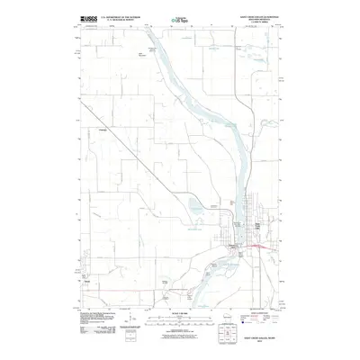
2010 Map of Saint Croix Dalles
USGS Topo · Published 2010About this map
The Saint Croix River forms the central spine of this border region, carving through the Saint Croix Dalles where the sister cities of Saint Croix Falls, Wisconsin, and Taylors Falls, Minnesota, face each other. This corridor is defined by its industrial and recreational history, anchored by the Saint Croix Falls 1903-C24 Dam and the Wild Mountain Ski Area Water Park to the north. Beyond the river banks, the landscape transitions into a grid of rural avenues and farming communities like Shafer and Palmdale. Genealogists will find several burial grounds including Pleasant Hill Cemetery and Kahbakong Cemetery. The presence of small airfields like Beskar Airport and Taylors Falls Airport highlights the dispersed infrastructure supporting the local river valley economy.
Find a feature on this map
73 named features on this map. Tap any name to fly to it.
Don’t see what you’re looking for? This feature index may not catch every label — zoom into the map to look around manually.
Map Details
Editions of this 2010 Saint Croix Dalles Map
This is the sole edition of this map. No revisions or reprints were ever made.
Other maps of this area

1900 · St Croix Dalles
USGS Topo · 1:62,500

1901 · St Croix Dalles
USGS Topo · 1:62,500

1950 · Rush City
USGS Topo · 1:48,000

1951 · Milltown
USGS Topo · 1:48,000

1953 · Stillwater
USGS Topo · 1:250,000

1955 · St. Croix Dalles
USGS Topo · 1:62,500

1955 · Rush City
USGS Topo · 1:62,500

1955 · Milltown
USGS Topo · 1:62,500

1955 · Forest Lake
USGS Topo · 1:62,500

1955 · Stillwater
USGS Topo · 1:250,000