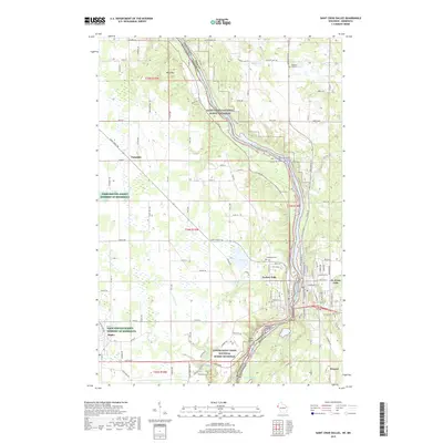
2019 Map of Saint Croix Dalles
USGS Topo · Published 2019About this map
Taylors Falls and St. Croix Falls anchor this landscape where the Saint Croix River carves through the dalles, forming the border between Minnesota and Wisconsin. This 2019 survey captures a complex geography of riverward plateaus and wetlands, notably the Farm Service Agency Interest of Minnesota tracts near Shafer. The map provides detailed placement of local burial sites, including Hill Cem, Kahbakong Cem, and Franconia Cem, which offer significant value for genealogical research in Chisago and Polk Counties.
Find a feature on this map
111 named features on this map. Tap any name to fly to it.
Don’t see what you’re looking for? This feature index may not catch every label — zoom into the map to look around manually.
Map Details
Editions of this 2019 Saint Croix Dalles Map
This is the sole edition of this map. No revisions or reprints were ever made.
Other maps of this area

1900 · St Croix Dalles
USGS Topo · 1:62,500

1901 · St Croix Dalles
USGS Topo · 1:62,500

1950 · Rush City
USGS Topo · 1:48,000

1951 · Milltown
USGS Topo · 1:48,000

1953 · Stillwater
USGS Topo · 1:250,000

1955 · St. Croix Dalles
USGS Topo · 1:62,500

1955 · Rush City
USGS Topo · 1:62,500

1955 · Milltown
USGS Topo · 1:62,500

1955 · Forest Lake
USGS Topo · 1:62,500

1955 · Stillwater
USGS Topo · 1:250,000