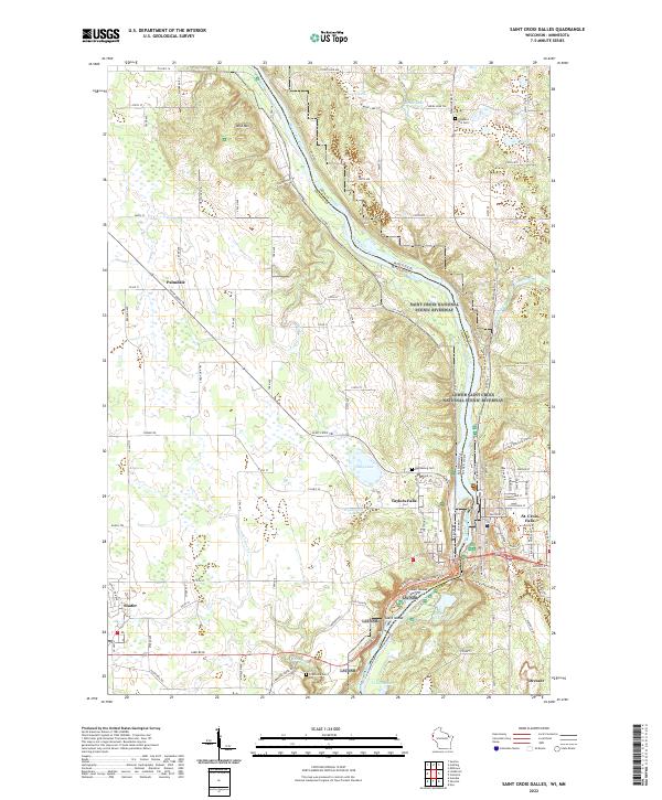
2022 Map of Saint Croix Dalles
USGS Topo · Published 2022About this map
The Saint Croix River forms the central spine of this borderland geography, where the steep dalles separate Taylors Falls, Minnesota, from St. Croix Falls, Wisconsin. This modern survey illustrates the conservation landscape of the Saint Croix National Scenic Riverway, which protects the river's islands and shoreline. The terrain rises sharply from the water toward Wild Mtn and the glacially-formed depressions of Colby Lake and Wyckstrom Lake.
Find a feature on this map
123 named features on this map. Tap any name to fly to it.
Don’t see what you’re looking for? This feature index may not catch every label — zoom into the map to look around manually.
Map Details
Editions of this 2022 Saint Croix Dalles Map
This is the sole edition of this map. No revisions or reprints were ever made.
Other maps of this area

1900 · St Croix Dalles
USGS Topo · 1:62,500

1901 · St Croix Dalles
USGS Topo · 1:62,500

1950 · Rush City
USGS Topo · 1:48,000

1951 · Milltown
USGS Topo · 1:48,000

1953 · Stillwater
USGS Topo · 1:250,000

1955 · St. Croix Dalles
USGS Topo · 1:62,500

1955 · Rush City
USGS Topo · 1:62,500

1955 · Milltown
USGS Topo · 1:62,500

1955 · Forest Lake
USGS Topo · 1:62,500

1955 · Stillwater
USGS Topo · 1:250,000