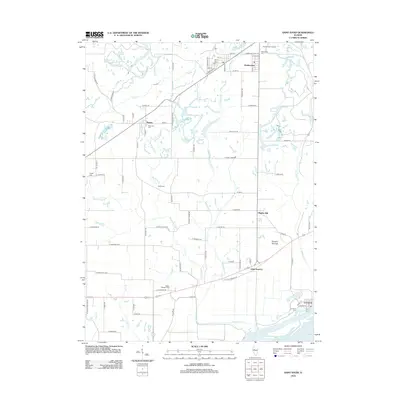
2012 Map of Saint David
USGS Topo · Published 2012About this map
The Illinois River forms the southeastern boundary of this central Illinois landscape, where the riparian bottomlands near Liverpool meet the agricultural uplands. The terrain is marked by a legacy of early inhabitants and rural development, notably at the Tampico Mounds and across several small settlements such as Maples Mill and Little America. A network of creeks, including Big Sister Cr and Little Sister Cr, carves through the countryside, historically influencing the placement of local homesteads and crossroads.
Find a feature on this map
88 named features on this map. Tap any name to fly to it.
Don’t see what you’re looking for? This feature index may not catch every label — zoom into the map to look around manually.
Map Details
Editions of this 2012 Saint David Map
This is the sole edition of this map. No revisions or reprints were ever made.
Other maps of this area

1912 · Canton
USGS Topo · 1:62,500

1925 · Havana
USGS Topo · 1:62,500

1929 · Manito
USGS Topo · 1:62,500

1930 · Glasford
USGS Topo · 1:62,500

1932 · Manito
USGS Topo · 1:62,500

1947 · Lewistown
USGS Topo · 1:24,000

1947 · St. David
USGS Topo · 1:24,000

1947 · Havana
USGS Topo · 1:24,000

1948 · Duncan Mills
USGS Topo · 1:24,000

1948 · Lewistown
USGS Topo · 1:24,000