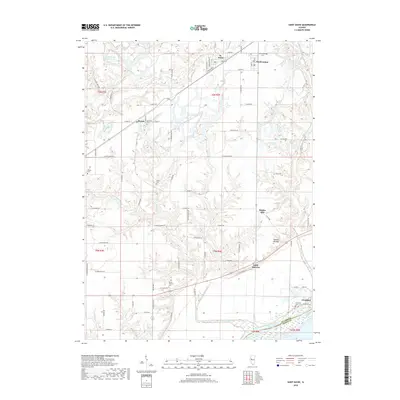
2018 Map of Saint David
USGS Topo · Published 2018About this map
St. David and Dunfermline anchor the northern landscape of this Illinois river valley, where the industrial legacy of the region is visible in features like Sludge Pond Number 1-3A and several named water bodies including Evelen Lake. The terrain transitions from these developed areas into a network of creeks, such as Big Sister Cr and Coal Cr, which flow toward the Illinois River at the southeastern edge. Small settlements and crossroads like Bryant and Maples Mill dot the central plains, while the ancient topography is marked by the Tampico Mounds near the river bluffs. For genealogists, the map is particularly useful for locating rural burial sites, including Maryville Cem, Salem Cem, and Highbridge Cem. The riverfront at Liverpool shows a complex hydrology of backwater lakes and channels, including Liverpool Lake, defining the boundary between Fulton and Mason counties.
Find a feature on this map
86 named features on this map. Tap any name to fly to it.
Don’t see what you’re looking for? This feature index may not catch every label — zoom into the map to look around manually.
Map Details
Editions of this 2018 Saint David Map
This is the sole edition of this map. No revisions or reprints were ever made.
Other maps of this area

1912 · Canton
USGS Topo · 1:62,500

1925 · Havana
USGS Topo · 1:62,500

1929 · Manito
USGS Topo · 1:62,500

1930 · Glasford
USGS Topo · 1:62,500

1932 · Manito
USGS Topo · 1:62,500

1947 · Lewistown
USGS Topo · 1:24,000

1947 · St. David
USGS Topo · 1:24,000

1947 · Havana
USGS Topo · 1:24,000

1948 · Duncan Mills
USGS Topo · 1:24,000

1948 · Lewistown
USGS Topo · 1:24,000