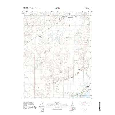
2021 Map of Saint David
USGS Topo · Published 2021About this map
Little America and Dunfermline anchor this mapping of the Fulton County landscape, where the flatlands of the Illinois River valley meet the dissected uplands of the interior. The riverfront at Liverpool shows a complex of backwater features like Liverpool Lake and the vast Lake Chautauqua across the Mason County line. This area reflects a long history of human occupation, evidenced by the Tampico Mounds and a dense network of early burial grounds including Salem Wilcoxen Cem, Maryville Cem, and Apple Cem. The drainage patterns of Big-Sister Cr and Little Sister Creek carve through the terrain, while industry and transit are represented by the W Railroad St corridor and Sludge Pond Number 1-3A near Evelen Lake. Local place names like Maples Mill and Bryant mark the established rural centers that define this portion of the Illinois corn belt.
Find a feature on this map
54 named features on this map. Tap any name to fly to it.
Don’t see what you’re looking for? This feature index may not catch every label — zoom into the map to look around manually.
Map Details
Editions of this 2021 Saint David Map
This is the sole edition of this map. No revisions or reprints were ever made.
Other maps of this area

1912 · Canton
USGS Topo · 1:62,500

1925 · Havana
USGS Topo · 1:62,500

1929 · Manito
USGS Topo · 1:62,500

1930 · Glasford
USGS Topo · 1:62,500

1932 · Manito
USGS Topo · 1:62,500

1947 · Lewistown
USGS Topo · 1:24,000

1947 · St. David
USGS Topo · 1:24,000

1947 · Havana
USGS Topo · 1:24,000

1948 · Duncan Mills
USGS Topo · 1:24,000

1948 · Lewistown
USGS Topo · 1:24,000