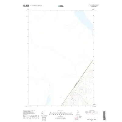
2021 Map of Saint Eleuthere
USGS Topo · Published 2021About this map
The international border between Canada and the United States of America defines this remote landscape in the far northern reaches of Aroostook County. This survey focuses on the boundary line where Maine meets Quebec, showing the topography of the forested highlands and the few tracks that penetrate the area. Rocky Brook Rd provides the primary access through the southern portion of the quadrangle, snaking between the hills that rise near the border. The sparse network of roads and waterways emphasizes the wilderness character of this international crossing, where the landscape transitions across a line defined more by diplomacy than terrain.
Find a feature on this map
2 named features on this map. Tap any name to fly to it.
Don’t see what you’re looking for? This feature index may not catch every label — zoom into the map to look around manually.
Map Details
Editions of this 2021 Saint Eleuthere Map
This is the sole edition of this map. No revisions or reprints were ever made.
Other maps of this area

1955 · Rocky Brook
USGS Topo · 1:62,500

1955 · Beau Lake
USGS Topo · 1:62,500

1962 · Edmundston
USGS Topo · 1:250,000

1987 · Hafey Pond
USGS Topo · 1:24,000
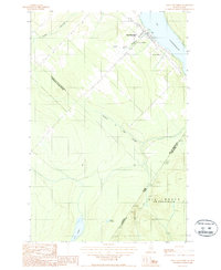
1987 · Saint-Eleuthere
USGS Topo · 1:24,000
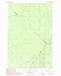
1987 · Morrison Brook
USGS Topo · 1:24,000
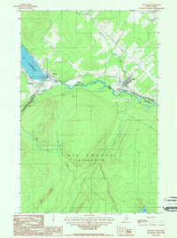
1987 · Estcourt
USGS Topo · 1:24,000
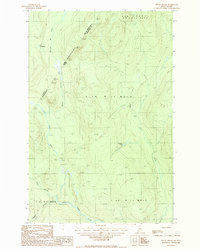
1987 · Rocky Brook
USGS Topo · 1:24,000
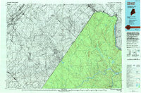
1993 · Allagash
USGS Topo · 1:100,000
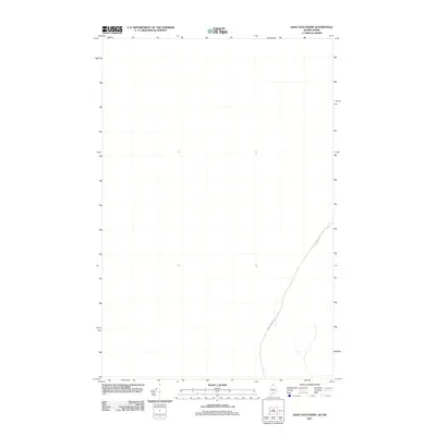
2011 · Saint Eleuthere
USGS Topo · 1:24,000