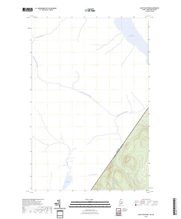
2024 Map of Saint Eleuthere
USGS Topo · Published 2024About this map
The international border between the United States and Canada defines this northern landscape in Aroostook County, where the wilderness of Maine meets Quebec. The map is characterized by its significant water bodies, notably the southern tip of Lac Pohénégamook and the secluded Lac Landry near the western boundary. This area represents a remote corner of the North Woods, where drainage patterns like Rivière Boucanée and the winding Ruisseau du Chat Sauvage dictate the layout of the land. In the southeastern corner, a small section of rising terrain is accessible via Rocky Brook Rd, showing the limited road infrastructure in a region dominated by glacial lakes like Lac à Michel and dense forest cover.
Find a feature on this map
7 named features on this map. Tap any name to fly to it.
Don’t see what you’re looking for? This feature index may not catch every label — zoom into the map to look around manually.
Map Details
Editions of this 2024 Saint Eleuthere Map
This is the sole edition of this map. No revisions or reprints were ever made.
Other maps of this area

1955 · Rocky Brook
USGS Topo · 1:62,500

1955 · Beau Lake
USGS Topo · 1:62,500

1962 · Edmundston
USGS Topo · 1:250,000

1987 · Hafey Pond
USGS Topo · 1:24,000
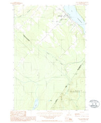
1987 · Saint-Eleuthere
USGS Topo · 1:24,000
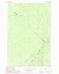
1987 · Morrison Brook
USGS Topo · 1:24,000
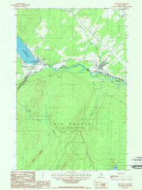
1987 · Estcourt
USGS Topo · 1:24,000
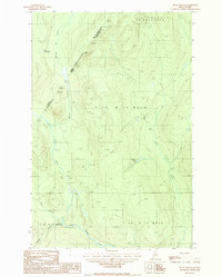
1987 · Rocky Brook
USGS Topo · 1:24,000
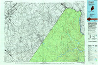
1993 · Allagash
USGS Topo · 1:100,000
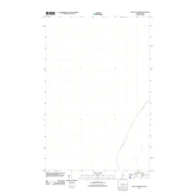
2011 · Saint Eleuthere
USGS Topo · 1:24,000