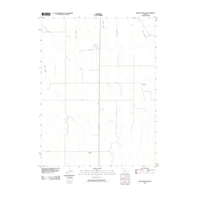
2009 Map of Saint Francis NW
USGS Topo · Published 2009About this map
Emanuel Cemetery and Hope Valley Cemetery anchor this rural landscape in Cheyenne County, where the plains of western Kansas are deeply incised by a series of north-running drainages. These landforms, including Devils Canyon, Mc Cann Canyon, and Sand Canyon, define the local topography as they channel water toward the Republican River valley to the north.
Find a feature on this map
16 named features on this map. Tap any name to fly to it.
Don’t see what you’re looking for? This feature index may not catch every label — zoom into the map to look around manually.
Map Details
Editions of this 2009 Saint Francis NW Map
This is the sole edition of this map. No revisions or reprints were ever made.
Other maps of this area

1942 · St. Francis
USGS Topo · 1:62,500

1943 · St. Francis
USGS Topo · 1:62,500

1951 · St Francis
USGS Topo · 1:62,500

1954 · Limon
USGS Topo · 1:250,000

1954 · Sterling
USGS Topo · 1:250,000

1954 · McCook
USGS Topo · 1:250,000

1954 · Goodland
USGS Topo · 1:250,000

1956 · Goodland
USGS Topo · 1:250,000

1957 · McCook
USGS Topo · 1:250,000

1957 · Limon
USGS Topo · 1:250,000