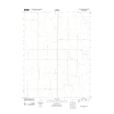
2012 Map of Saint Francis NW
USGS Topo · Published 2012About this map
The high plains of Cheyenne County are mapped here in detail, revealing the precise grid of the United States Public Land Survey System that defines this agricultural landscape. Notable landmarks for genealogical research include Emanuel Cem in the eastern portion and Hope Valley Cem located along Co Road W in the southern section. The drainage of Hackberry Cr winds through the central and eastern sections of the quadrangle, providing a natural break in the strictly rectangular road network formed by thoroughfares such as Road 5 and Road AA. This map illustrates the intersection of natural topography and early 21st-century rural infrastructure in the far northwest corner of Kansas.
Find a feature on this map
13 named features on this map. Tap any name to fly to it.
Don’t see what you’re looking for? This feature index may not catch every label — zoom into the map to look around manually.
Map Details
Editions of this 2012 Saint Francis NW Map
This is the sole edition of this map. No revisions or reprints were ever made.
Other maps of this area

1942 · St. Francis
USGS Topo · 1:62,500

1943 · St. Francis
USGS Topo · 1:62,500

1951 · St Francis
USGS Topo · 1:62,500

1954 · Limon
USGS Topo · 1:250,000

1954 · Sterling
USGS Topo · 1:250,000

1954 · McCook
USGS Topo · 1:250,000

1954 · Goodland
USGS Topo · 1:250,000

1956 · Goodland
USGS Topo · 1:250,000

1957 · McCook
USGS Topo · 1:250,000

1957 · Limon
USGS Topo · 1:250,000