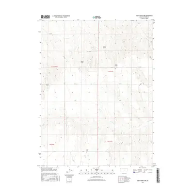
2015 Map of Saint Francis NW
USGS Topo · Published 2015About this map
High plains topography and deep-cut drainages characterize this northwest corner of Kansas, where the landscape is defined by a series of prominent canyons. These natural features, including Gilmore Canyon, McCann Canyon, Carroll Canyon, and Sand Canyon, illustrate the erosional patterns of the High Plains as they descend toward the drainage of Hackberry Creek.
Find a feature on this map
18 named features on this map. Tap any name to fly to it.
Don’t see what you’re looking for? This feature index may not catch every label — zoom into the map to look around manually.
Map Details
Editions of this 2015 Saint Francis NW Map
This is the sole edition of this map. No revisions or reprints were ever made.
Other maps of this area

1942 · St. Francis
USGS Topo · 1:62,500

1943 · St. Francis
USGS Topo · 1:62,500

1951 · St Francis
USGS Topo · 1:62,500

1954 · Limon
USGS Topo · 1:250,000

1954 · Sterling
USGS Topo · 1:250,000

1954 · McCook
USGS Topo · 1:250,000

1954 · Goodland
USGS Topo · 1:250,000

1956 · Goodland
USGS Topo · 1:250,000

1957 · McCook
USGS Topo · 1:250,000

1957 · Limon
USGS Topo · 1:250,000