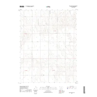
2018 Map of Saint Francis NW
USGS Topo · Published 2018About this map
McCann Canyon and Gilmore Canyon define the high plains drainage of Cheyenne County, where deep incisions into the tableland reveal the intricate topography of northwestern Kansas. The landscape is marked by a network of sectional roads, including Co RD DD and Co RD W, which facilitate the region's agricultural life. For genealogists and local historians, the presence of Emanuel Cem in the east and Hope Valley Cem in the south provides specific points of interest for family research. The seasonal drainage of Hackberry Cr winds through the southern portion of the quadrangle, illustrating the natural watercourses that have shaped land use and ranching boundaries in this corner of the state.
Find a feature on this map
19 named features on this map. Tap any name to fly to it.
Don’t see what you’re looking for? This feature index may not catch every label — zoom into the map to look around manually.
Map Details
Editions of this 2018 Saint Francis NW Map
This is the sole edition of this map. No revisions or reprints were ever made.
Other maps of this area

1942 · St. Francis
USGS Topo · 1:62,500

1943 · St. Francis
USGS Topo · 1:62,500

1951 · St Francis
USGS Topo · 1:62,500

1954 · Limon
USGS Topo · 1:250,000

1954 · Sterling
USGS Topo · 1:250,000

1954 · McCook
USGS Topo · 1:250,000

1954 · Goodland
USGS Topo · 1:250,000

1956 · Goodland
USGS Topo · 1:250,000

1957 · McCook
USGS Topo · 1:250,000

1957 · Limon
USGS Topo · 1:250,000