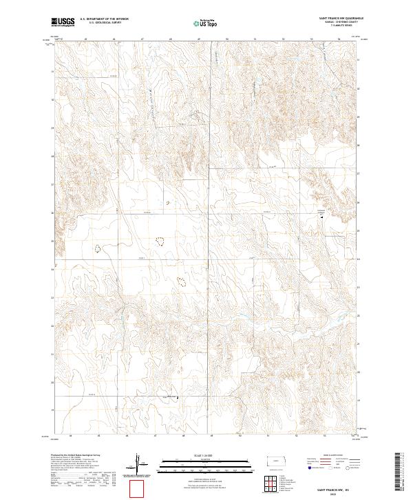
2022 Map of Saint Francis NW
USGS Topo · Published 2022About this map
Immanuel Lutheran Cem and Hope Valley Cem stand as markers of early settlement patterns in this corner of Cheyenne County. The landscape is defined by the drainage systems of Hackberry Cr and several prominent northern canyons, including McCann Canyon, Gilmore Canyon, Carroll Canyon, and Sand Canyon. These features illustrate the erosion and relief typical of the high plains north of Saint Francis.
Find a feature on this map
20 named features on this map. Tap any name to fly to it.
Don’t see what you’re looking for? This feature index may not catch every label — zoom into the map to look around manually.
Map Details
Editions of this 2022 Saint Francis NW Map
This is the sole edition of this map. No revisions or reprints were ever made.
Other maps of this area

1942 · St. Francis
USGS Topo · 1:62,500

1943 · St. Francis
USGS Topo · 1:62,500

1951 · St Francis
USGS Topo · 1:62,500

1954 · Limon
USGS Topo · 1:250,000

1954 · Sterling
USGS Topo · 1:250,000

1954 · McCook
USGS Topo · 1:250,000

1954 · Goodland
USGS Topo · 1:250,000

1956 · Goodland
USGS Topo · 1:250,000

1957 · McCook
USGS Topo · 1:250,000

1957 · Limon
USGS Topo · 1:250,000