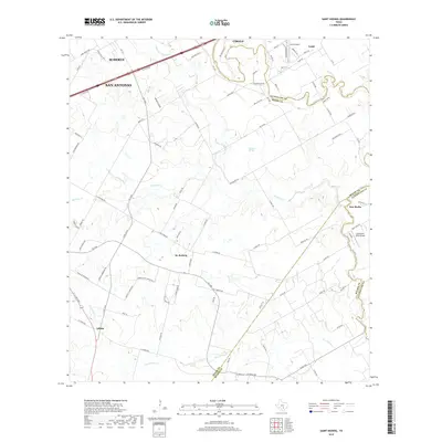
2019 Map of Saint Hedwig
USGS Topo · Published 2019About this map
St. Hedwig and New Berlin anchor this landscape along the border of Bexar and Guadalupe counties, where the suburban expansion of San Antonio and Schertz meets the rural agricultural reaches of South Texas. The area is defined by the winding drainages of Cibolo Cr and Martinez Cr, which have long shaped the settlement patterns of these predominantly Polish and German heritage communities. Local landmarks like Martinez Springs and the elevated Abbott Ridge provide topogaphic markers amidst a dense network of farm-to-market roads and rural lanes such as Ware Seguin Rd and Real Rock Rd. The map also captures several private aviation facilities including Zuehl Airport and the Cibolo Sea-Willo Airpark, reflecting the region's specialized land use and transportation development between the historic settlements and the Interstate 10 corridor.
Find a feature on this map
87 named features on this map. Tap any name to fly to it.
Don’t see what you’re looking for? This feature index may not catch every label — zoom into the map to look around manually.
Map Details
Editions of this 2019 Saint Hedwig Map
This is the sole edition of this map. No revisions or reprints were ever made.
Other maps of this area

1924 · New Braunfels No 4
USGS Topo · 1:48,000

1927 · New Braunfels
USGS Topo · 1:62,500

1953 · Schertz
USGS Topo · 1:24,000

1953 · Elmendorf
USGS Topo · 1:24,000

1953 · Martinez
USGS Topo · 1:24,000

1954 · San Antonio
USGS Topo · 1:250,000

1957 · San Antonio
USGS Topo · 1:250,000

1957 · New Berlin
USGS Topo · 1:24,000

1958 · Marion
USGS Topo · 1:24,000

1958 · La Vernia SW
USGS Topo · 1:24,000