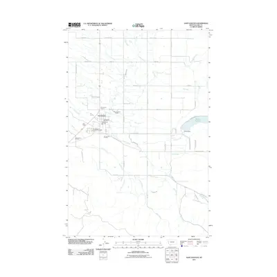
2011 Map of Saint Ignatius
USGS Topo · Published 2011About this map
Saint Ignatius serves as the focal point of this 2011 survey, situated at the confluence of several vital water systems and local transport routes. The landscape is defined by the intricate irrigation and drainage network of the Mission Canal and Mission Creek, which flow westward from the Mission Reservoir and Mission Dam. Local infrastructure is well-documented, featuring the Saint Ignatius Post Office, Saint Ignatius Fire Dept, and the Saint Ignatius Airport.
Find a feature on this map
44 named features on this map. Tap any name to fly to it.
Don’t see what you’re looking for? This feature index may not catch every label — zoom into the map to look around manually.
Map Details
Editions of this 2011 Saint Ignatius Map
This is the sole edition of this map. No revisions or reprints were ever made.
Other maps of this area

1921 · Elbow Lake
USGS Topo · 1:125,000

1955 · Choteau
USGS Topo · 1:250,000

1956 · Wallace
USGS Topo · 1:250,000

1957 · Choteau
USGS Topo · 1:250,000

1958 · Choteau
USGS Topo · 1:250,000

1959 · Arlee
USGS Topo · 1:62,500

1960 · Wallace
USGS Topo · 1:250,000

1962 · Choteau
USGS Topo · 1:250,000

1964 · Fort Connah
USGS Topo · 1:24,000

1964 · Saint Ignatius
USGS Topo · 1:24,000