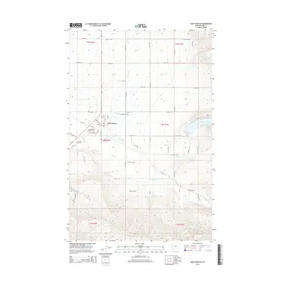
2014 Map of Saint Ignatius
USGS Topo · Published 2014About this map
Saint Ignatius serves as the focal point of this western Montana landscape, situated where the valley floor meets the rising slopes of the Mission Range. The settlement’s long-standing spiritual and community roots are evident in the proximity of the Saint Ignatius Old Catholic Cem and the larger Saint Ignatius Cem. The surrounding environment is defined by an intricate network of water management and natural drainages, including the Mission Canal and Mission C Canal, which divert water from sources like Mission Cr and the Mission Reservoir to support the local agriculture. To the south and west, the terrain is carved by numerous seasonal and perennial streams such as Sabine Cr, Thorne Cr, and Mikes Cr. Local infrastructure is anchored by the St Ignatius Airport and a grid of rural routes like Mission Dam Rd and Sabine Rd that connect the town to its outlying ranchlands and mountain foothills.
Find a feature on this map
44 named features on this map. Tap any name to fly to it.
Don’t see what you’re looking for? This feature index may not catch every label — zoom into the map to look around manually.
Map Details
Editions of this 2014 Saint Ignatius Map
This is the sole edition of this map. No revisions or reprints were ever made.
Other maps of this area

1921 · Elbow Lake
USGS Topo · 1:125,000

1955 · Choteau
USGS Topo · 1:250,000

1956 · Wallace
USGS Topo · 1:250,000

1957 · Choteau
USGS Topo · 1:250,000

1958 · Choteau
USGS Topo · 1:250,000

1959 · Arlee
USGS Topo · 1:62,500

1960 · Wallace
USGS Topo · 1:250,000

1962 · Choteau
USGS Topo · 1:250,000

1964 · Fort Connah
USGS Topo · 1:24,000

1964 · Saint Ignatius
USGS Topo · 1:24,000