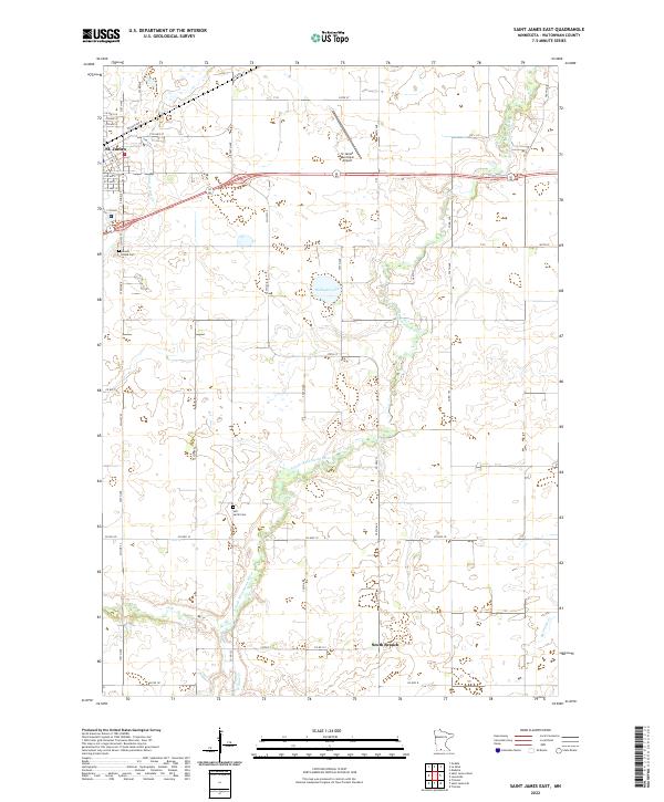
2022 Map of Saint James East
USGS Topo · Published 2022About this map
St. James serves as the primary hub in this portion of Watonwan County, situated at the intersection of a significant agricultural landscape and a complex network of prairie waterways. The terrain is defined by the winding course of the S Fork Watonwan River, which is joined by tributaries like Saint James Cr, Willow Cr, and Spring Br Cr. These watercourses create natural boundaries between the expansive sections of farmland that dominate the township lines. Local history and genealogy researchers will find important landmarks on the periphery of the town, including Mount Hope Cem and the more isolated Sell-Lamb Cem. The presence of the St James Municipal Airport and the expansive grid of county highways such as Co HWY 10 and Co HWY 27 reflect the area's continued reliance on efficient transport for its rural economy.
Find a feature on this map
49 named features on this map. Tap any name to fly to it.
Don’t see what you’re looking for? This feature index may not catch every label — zoom into the map to look around manually.
Map Details
Editions of this 2022 Saint James East Map
This is the sole edition of this map. No revisions or reprints were ever made.
Other maps of this area

1953 · New Ulm
USGS Topo · 1:250,000

1954 · Fairmont
USGS Topo · 1:250,000

1957 · New Ulm
USGS Topo · 1:250,000

1958 · New Ulm
USGS Topo · 1:250,000

1958 · Fairmont
USGS Topo · 1:250,000

1965 · Madelia
USGS Topo · 1:24,000

1967 · New Ulm
USGS Topo · 1:250,000

1967 · Truman
USGS Topo · 1:24,000

1967 · Lewisville
USGS Topo · 1:24,000

1967 · Godahl
USGS Topo · 1:24,000