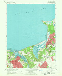
1967 Map of Saint James
USGS Topo · Published 1969About this map
Kings Park State Hospital dominates the western edge of this coastal landscape, situated just east of Sunken Meadow State Park. This mid-century survey captures the North Shore of Long Island during a period of significant institutional and academic expansion. The burgeoning campus of the State Univ at Stony Brook appears on the eastern margin, reflecting the area's transition into an educational hub. Settlements like Stony Brook, Saint James, and Setauket are connected by the Long Island Railroad and historic thoroughfares such as North Country Road. Along the shoreline, the complex geography of Stony Brook Harbor and the Nissequogue River is detailed alongside leisure landmarks like the Old Field Club and the Smithtown Landing Country Club. Numerous local institutions, including Maryhaven Convent and St Anthony's High Sch, are mapped among the residential grids of San Remo and Kings Park.
Find a feature on this map
80 named features on this map. Tap any name to fly to it.
Don’t see what you’re looking for? This feature index may not catch every label — zoom into the map to look around manually.
Map Details
Editions of this 1967 Saint James Map
2 editions found
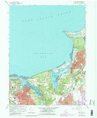
Other maps of this area

1891 · Bridgeport
USGS Topo · 1:62,500

1892 · Norwalk
USGS Topo · 1:62,500

1893 · Bridgeport
USGS Topo · 1:62,500

1893 · Norwalk
USGS Topo · 1:62,500

1901 · Northport
USGS Topo · 1:62,500

1902 · Setauket
USGS Topo · 1:62,500

1903 · Northport
USGS Topo · 1:62,500

1904 · Setauket
USGS Topo · 1:62,500

1904 · Islip
USGS Topo · 1:125,000

1919 · Setauket
USGS Topo · 1:62,500