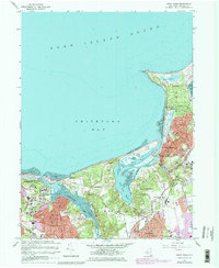
1967 Map of Saint James
USGS Topo · Published 1979About this map
Kings Park State Hospital and the sprawling campus of the State University at Stony Brook anchor this detailed look at Suffolk County's north shore during a period of significant institutional and suburban growth. The landscape is defined by the winding Nissequogue River and the complex tidal estuaries of Stony Brook Harbor, which separate the established villages of Stony Brook and Saint James.
Find a feature on this map
43 named features on this map. Tap any name to fly to it.
Don’t see what you’re looking for? This feature index may not catch every label — zoom into the map to look around manually.
Map Details
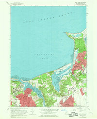
Editions of this 1967 Saint James Map
2 editions found
Other maps of this area

1891 · Bridgeport
USGS Topo · 1:62,500

1892 · Norwalk
USGS Topo · 1:62,500

1893 · Bridgeport
USGS Topo · 1:62,500

1893 · Norwalk
USGS Topo · 1:62,500

1901 · Northport
USGS Topo · 1:62,500

1902 · Setauket
USGS Topo · 1:62,500

1903 · Northport
USGS Topo · 1:62,500

1904 · Setauket
USGS Topo · 1:62,500

1904 · Islip
USGS Topo · 1:125,000

1919 · Setauket
USGS Topo · 1:62,500