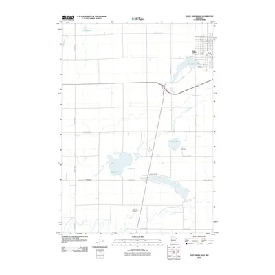
2010 Map of Saint James West
USGS Topo · Published 2010About this map
The South Fork Watonwan River meanders across the southern portion of this landscape, marking a distinct contrast to the straight, grid-like precision of the surrounding agricultural roads. In the early 21st century, the area surrounding the settlement of Echols remains defined by its water features, including the sprawling Long Lake and Kansas Lake. Near the northeastern corner, the outskirts of Saint James are anchored by Saint James Lake and the Saint James Post Office. Local genealogy is well-supported by the inclusion of significant burial sites and landmarks like the Long Lake Lutheran Church Cemetery and Kansas Lake Cemetery. The map also captures infrastructure such as the Mary Lake Dam, reflecting the managed water systems central to this part of Watonwan County.
Find a feature on this map
29 named features on this map. Tap any name to fly to it.
Don’t see what you’re looking for? This feature index may not catch every label — zoom into the map to look around manually.
Map Details
Editions of this 2010 Saint James West Map
This is the sole edition of this map. No revisions or reprints were ever made.
Other maps of this area

1953 · New Ulm
USGS Topo · 1:250,000

1954 · Fairmont
USGS Topo · 1:250,000

1957 · New Ulm
USGS Topo · 1:250,000

1958 · New Ulm
USGS Topo · 1:250,000

1958 · Fairmont
USGS Topo · 1:250,000

1967 · New Ulm
USGS Topo · 1:250,000

1967 · Godahl
USGS Topo · 1:24,000

1967 · Darfur
USGS Topo · 1:24,000
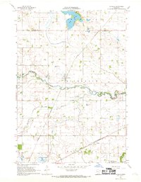
1967 · La Salle
USGS Topo · 1:24,000

1970 · St James SE
USGS Topo · 1:24,000