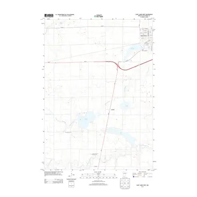
2013 Map of Saint James West
USGS Topo · Published 2013About this map
Saint James serves as the primary municipal hub in this portion of Watonwan County, where a grid of avenues meets the waters of Saint James Lake. The landscape transitions from the developed streets of the city to a series of glacial lakes and prairie waterways that define the regional geography. To the southwest, the small settlement of Echols sits near the winding course of Saint James Cr, which meanders through a landscape dotted with significant water bodies like Kansas Lake and Long Lake.
Find a feature on this map
29 named features on this map. Tap any name to fly to it.
Don’t see what you’re looking for? This feature index may not catch every label — zoom into the map to look around manually.
Map Details
Editions of this 2013 Saint James West Map
This is the sole edition of this map. No revisions or reprints were ever made.
Other maps of this area

1953 · New Ulm
USGS Topo · 1:250,000

1954 · Fairmont
USGS Topo · 1:250,000

1957 · New Ulm
USGS Topo · 1:250,000

1958 · New Ulm
USGS Topo · 1:250,000
1958 · Fairmont
USGS Topo · 1:250,000
1967 · New Ulm
USGS Topo · 1:250,000
1967 · Godahl
USGS Topo · 1:24,000
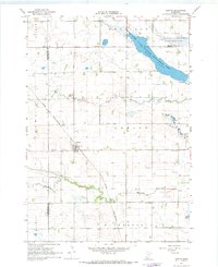
1967 · Darfur
USGS Topo · 1:24,000
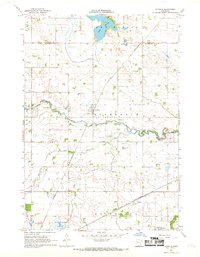
1967 · La Salle
USGS Topo · 1:24,000
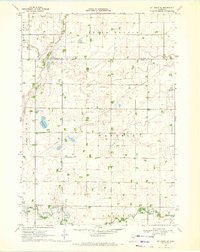
1970 · St James SE
USGS Topo · 1:24,000