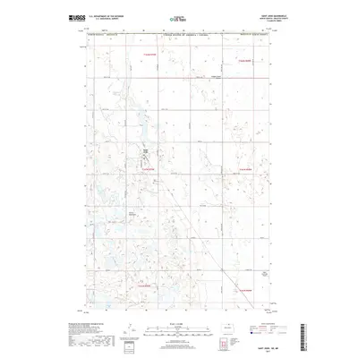
2017 Map of Saint John
USGS Topo · Published 2017About this map
Saint John serves as the focal point of this northern plains landscape, situated just south of the United States / Canada border. The township's grid is detailed with residential streets such as Foussard Ave, St Ann St, and Centennial Dr. To the south, the Turtle Mountains rise, creating a distinctive topography of glacial depressions and wetlands compared to the surrounding prairie. This area is dotted with numerous small bodies of water, including Byrnes Lake and Syrian Lake, which characterize the drainage pattern of the region alongside Gimby Cr and Hidden Island Coulee. Local infrastructure is marked by a network of Bureau of Indian Affairs routes like BIA Rd 2 and BIA Rd 7, reflecting the area's proximity to tribal lands. Genealogical interest is anchored by the Saint John Cem, located just southeast of the town center.
Find a feature on this map
38 named features on this map. Tap any name to fly to it.
Don’t see what you’re looking for? This feature index may not catch every label — zoom into the map to look around manually.
Map Details
Editions of this 2017 Saint John Map
This is the sole edition of this map. No revisions or reprints were ever made.
Other maps of this area

1936 · Lake Upsilon
USGS Topo · 1:48,000

1942 · Lake Upsilon
USGS Topo · 1:62,500

1953 · Devils Lake
USGS Topo · 1:250,000

1956 · Devils Lake
USGS Topo · 1:250,000

1968 · Lake Upsilon SE
USGS Topo · 1:24,000
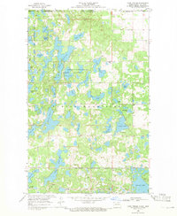
1968 · Lake Upsilon
USGS Topo · 1:24,000

1968 · Belcourt
USGS Topo · 1:24,000

1969 · Saint John
USGS Topo · 1:24,000

1969 · Rolla NE
USGS Topo · 1:24,000

1970 · Rolla
USGS Topo · 1:24,000