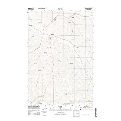
2014 Map of Saint John
USGS Topo · Published 2014About this map
Saint John serves as the central hub of this agricultural landscape in Whitman County, situated where Pleasant Valley Cr and Wa-23 converge. The town's layout is defined by its educational and transport infrastructure, including the St. John school and a grid that transitions into a network of rural roads like S Jennings Ave and N Park St. Beyond the town center, the terrain is shaped by a series of drainages including Downing Cr, Little Valley Cr, and Cottonwood Cr, which carve through the high country.
Find a feature on this map
43 named features on this map. Tap any name to fly to it.
Don’t see what you’re looking for? This feature index may not catch every label — zoom into the map to look around manually.
Map Details
Editions of this 2014 Saint John Map
This is the sole edition of this map. No revisions or reprints were ever made.
Other maps of this area

1903 · Oakesdale
USGS Topo · 1:125,000

1905 · Oakesdale
USGS Topo · 1:125,000

1910 · Pullman
USGS Topo · 1:125,000

1950 · Endicott
USGS Topo · 1:62,500

1955 · Pullman
USGS Topo · 1:250,000

1955 · Spokane
USGS Topo · 1:250,000

1958 · Spokane
USGS Topo · 1:250,000

1958 · Pullman
USGS Topo · 1:250,000

1964 · Diamond
USGS Topo · 1:24,000

1964 · St. John
USGS Topo · 1:24,000