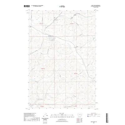
2020 Map of Saint John
USGS Topo · Published 2020About this map
St. John serves as the central hub of this agricultural landscape in Whitman County, characterized by a grid-like network of rural roads that navigate the complex drainage systems of the Palouse. Small, outlying settlements such as Juno and Huntley represent the dispersed nature of local commerce and community life in this region. The terrain is defined by the winding paths of several watercourses, which have historically shaped the layout of local infrastructure and land use. This 2020 edition provides a contemporary record of the area's geography, showing how modern transportation corridors continue to follow the natural contours established by the local drainage basins.
Find a feature on this map
3 named features on this map. Tap any name to fly to it.
Don’t see what you’re looking for? This feature index may not catch every label — zoom into the map to look around manually.
Map Details
Editions of this 2020 Saint John Map
This is the sole edition of this map. No revisions or reprints were ever made.
Other maps of this area

1903 · Oakesdale
USGS Topo · 1:125,000

1905 · Oakesdale
USGS Topo · 1:125,000

1910 · Pullman
USGS Topo · 1:125,000

1950 · Endicott
USGS Topo · 1:62,500

1955 · Pullman
USGS Topo · 1:250,000

1955 · Spokane
USGS Topo · 1:250,000

1958 · Spokane
USGS Topo · 1:250,000

1958 · Pullman
USGS Topo · 1:250,000

1964 · Diamond
USGS Topo · 1:24,000

1964 · St. John
USGS Topo · 1:24,000