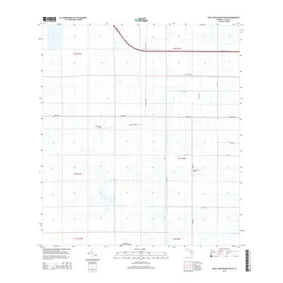
2015 Map of Saint Johns Marsh South
USGS Topo · Published 2015About this map
Adams Ranch Airport and Dragonfly Airport sit at the center of this agricultural landscape in Saint Lucie County, where a highly organized grid of drainage and transport infrastructure defines the terrain. The presence of the Rim Ditch and its associated N Rim Ditch Rd illustrates the complex water management systems required for Florida's interior citrus and ranching operations.
Find a feature on this map
24 named features on this map. Tap any name to fly to it.
Don’t see what you’re looking for? This feature index may not catch every label — zoom into the map to look around manually.
Map Details
Editions of this 2015 Saint Johns Marsh South Map
This is the sole edition of this map. No revisions or reprints were ever made.
Other maps of this area

1949 · Oslo
USGS Topo · 1:24,000

1949 · Fort Pierce NW
USGS Topo · 1:24,000

1950 · Fort Pierce NW
USGS Topo · 1:24,000

1950 · Oslo
USGS Topo · 1:24,000

1953 · Okeechobee 1 SE
USGS Topo · 1:24,000

1953 · Fellsmere 4 SE
USGS Topo · 1:24,000

1953 · Fellsmere 4 SW
USGS Topo · 1:24,000

1953 · Okeechobee 1 SW
USGS Topo · 1:24,000

1953 · Okeechobee 1 NE
USGS Topo · 1:24,000

1953 · Okeechobee 1 NW
USGS Topo · 1:24,000