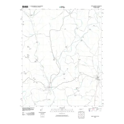
2010 Map of Saint Joseph
USGS Topo · Published 2010About this map
Iron City and Saint Joseph anchor this survey of the Tennessee-Alabama borderlands, an area defined by its deep mining history and complex drainage network. The landscape is heavily marked by industrial extraction, featuring numerous sites such as the McKinney Mine, Seavy-Lull Mine, and the Hardwick Mine. These operations follow the winding paths of Shoal Creek and Holly Creek, which are supplemented by dozens of smaller tributaries and hollows.
Find a feature on this map
91 named features on this map. Tap any name to fly to it.
Don’t see what you’re looking for? This feature index may not catch every label — zoom into the map to look around manually.
Map Details
Editions of this 2010 Saint Joseph Map
This is the sole edition of this map. No revisions or reprints were ever made.
Other maps of this area

1905 · Waynesboro
USGS Topo · 1:125,000

1914 · Rogersville
USGS Topo · 1:48,000

1914 · Muscle Shoals
USGS Topo · 1:48,000

1916 · Muscle Shoals
USGS Topo · 1:62,500

1916 · Rogersville
USGS Topo · 1:62,500

1936 · Westpoint
USGS Topo · 1:24,000

1936 · Collinwood
USGS Topo · 1:24,000

1936 · Light
USGS Topo · 1:24,000

1936 · Long Branch
USGS Topo · 1:24,000

1936 · Loretto
USGS Topo · 1:24,000