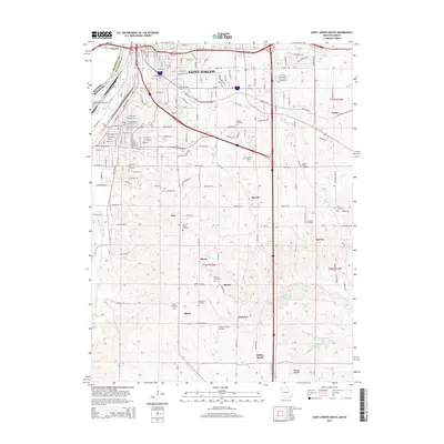
2015 Map of Saint Joseph South
USGS Topo · Published 2015About this map
The Missouri River defines the western edge of this landscape, separating Elwood in Kansas from the southern reaches of Saint Joseph in Missouri. This region is a study in transition, where the dense grid of city streets like Commercial St and Pear St gives way to the more open topography of southern Buchanan County. Along the bluffs and rolling terrain south of the city, several small, historically rooted settlements remain visible, including Kyle, Sparta, and Agency. The map reveals a high density of rural burial grounds, such as New King Cemetery and Pleasant Ridge Cemetery, which dot the hillsides alongside local watercourses like Contrary Cr and Pigeon Cr. Aviation and recreation also leave their mark on the land, evidenced by the Lawlor-Justus Airport and the specialized Little Ozark Fishing Lake, illustrating how the rural outskirts of Saint Joseph have evolved to serve both practical and leisure needs.
Find a feature on this map
103 named features on this map. Tap any name to fly to it.
Don’t see what you’re looking for? This feature index may not catch every label — zoom into the map to look around manually.
Map Details
Editions of this 2015 Saint Joseph South Map
This is the sole edition of this map. No revisions or reprints were ever made.
Other maps of this area

1923 · Clarksdale
USGS Topo · 1:62,500

1924 · St. Joseph
USGS Topo · 1:62,500

1925 · Gower
USGS Topo · 1:62,500

1925 · Clarksdale
USGS Topo · 1:62,500

1926 · Saint Joseph
USGS Topo · 1:62,500

1927 · Dearborn
USGS Topo · 1:62,500

1950 · Kansas City
USGS Topo · 1:250,000

1951 · Edgerton
USGS Topo · 1:24,000
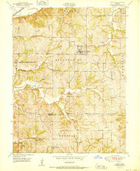
1951 · De Kalb
USGS Topo · 1:24,000
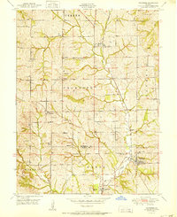
1951 · Dearborn
USGS Topo · 1:24,000