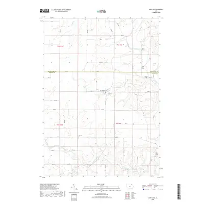
2018 Map of Saint Lucas
USGS Topo · Published 2018About this map
St. Lucas serves as the central hub of this agricultural landscape along the Winneshiek and Fayette County line. The settlement pattern is defined by the winding course of the Turkey River and its major tributary, the Little Turkey River, which carve through the Iowa countryside. For genealogists and local historians, the map is a primary source for locating family burials at several denominational and community sites, including Saint Lukes Catholic Cem within the town itself, and more rural locations like Young Cem and Saint Anthonys Cem to the north.
Find a feature on this map
58 named features on this map. Tap any name to fly to it.
Don’t see what you’re looking for? This feature index may not catch every label — zoom into the map to look around manually.
Map Details
Editions of this 2018 Saint Lucas Map
This is the sole edition of this map. No revisions or reprints were ever made.
Other maps of this area

1901 · Oelwein
USGS Topo · 1:125,000

1906 · Decorah
USGS Topo · 1:125,000

1954 · Mason City
USGS Topo · 1:250,000

1954 · Waterloo
USGS Topo · 1:250,000

1955 · Waterloo
USGS Topo · 1:250,000

1957 · Mason City
USGS Topo · 1:250,000

1958 · Mason City
USGS Topo · 1:250,000

1958 · La Crosse
USGS Topo · 1:250,000

1959 · Dubuque
USGS Topo · 1:250,000

1961 · Dubuque
USGS Topo · 1:250,000