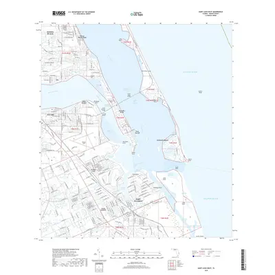
2018 Map of Saint Lucie Inlet
USGS Topo · Published 2018About this map
Saint Lucie Inlet serves as the focal point of this coastal landscape, where the confluence of the Saint Lucie River and Indian River Lagoon meets the Atlantic. The intricate shoreline is defined by barrier islands like Hutchinson Island and points such as Sewall's Point and Rocky Point. The infrastructure of Martin County is evident through the path of the Fec RR and aviation facilities at Witham Field. Transport across the waterways is facilitated by the Ernest Lyons Bridge and Evans McCrary Bridge, linking the mainland to the coastal peninsulas.
Find a feature on this map
139 named features on this map. Tap any name to fly to it.
Don’t see what you’re looking for? This feature index may not catch every label — zoom into the map to look around manually.
Map Details
Editions of this 2018 Saint Lucie Inlet Map
This is the sole edition of this map. No revisions or reprints were ever made.
Other maps of this area

1948 · Palm City
USGS Topo · 1:24,000

1948 · Ankona
USGS Topo · 1:24,000

1948 · St. Lucie Inlet
USGS Topo · 1:24,000

1948 · Gomez
USGS Topo · 1:24,000

1948 · Hobe Sound
USGS Topo · 1:24,000

1948 · Eden
USGS Topo · 1:24,000

1949 · Gomez
USGS Topo · 1:24,000

1949 · Hobe Sound
USGS Topo · 1:24,000

1950 · St. Lucie Inlet
USGS Topo · 1:24,000

1950 · Ankona
USGS Topo · 1:24,000