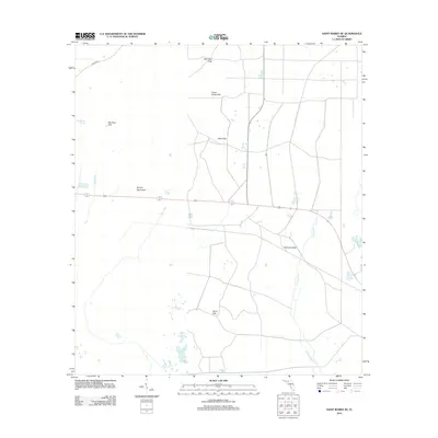
2012 Map of Saint Marks NE
USGS Topo · Published 2012About this map
The low-lying wetlands of Wakulla County are defined by a complex network of karst features and drainage systems in this 2012 survey. Distinctive sinkholes and depressions such as Bear Bay Sink, Indian Camp Sink, and Big Rock Sink pockmark the northern landscape, while the southern reaches are dominated by the Pinhook Sinks. These limestone formations are integral to the local hydrology, feeding into water bodies like the Pinhook River and the winding East River. The map highlights the localized elevation changes at Smoky Hammock and the Sand Hills, which stand as drier islands within the broader swampy environment. Human activity is sparse in this area, represented primarily by the corridor of Fanlew Rd and smaller local routes, showing a landscape largely preserved in its natural state for environmental monitoring and research.
Find a feature on this map
13 named features on this map. Tap any name to fly to it.
Don’t see what you’re looking for? This feature index may not catch every label — zoom into the map to look around manually.
Map Details
Editions of this 2012 Saint Marks NE Map
This is the sole edition of this map. No revisions or reprints were ever made.
Other maps of this area

1954 · Sprague Island
USGS Topo · 1:24,000

1954 · Cody
USGS Topo · 1:24,000

1954 · Woodville
USGS Topo · 1:24,000

1954 · St. Marks NE
USGS Topo · 1:24,000

1954 · St. Marks
USGS Topo · 1:24,000

1954 · Cobb Rocks
USGS Topo · 1:24,000

1954 · Valdosta
USGS Topo · 1:250,000

1954 · Tallahassee
USGS Topo · 1:250,000

1955 · Snipe Island
USGS Topo · 1:24,000

1955 · Nutall Rise
USGS Topo · 1:24,000