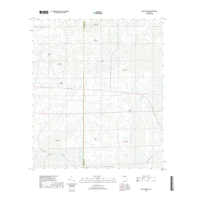
2018 Map of Saint Marks NE
USGS Topo · Published 2018About this map
Hydrological features define this section of the Gulf Coastal Lowlands along the border of Wakulla Co and Jefferson Co. The landscape is a complex drainage system characterized by numerous karst depressions and wetland environments, including Bear Bay Sink, Indian Camp Sink, and Big Rock Sink. These geological features sit north of the Sand Hills and the dense vegetation of Gum Swamp.
Find a feature on this map
24 named features on this map. Tap any name to fly to it.
Don’t see what you’re looking for? This feature index may not catch every label — zoom into the map to look around manually.
Map Details
Editions of this 2018 Saint Marks NE Map
This is the sole edition of this map. No revisions or reprints were ever made.
Other maps of this area

1954 · Sprague Island
USGS Topo · 1:24,000

1954 · Cody
USGS Topo · 1:24,000

1954 · Woodville
USGS Topo · 1:24,000

1954 · St. Marks NE
USGS Topo · 1:24,000

1954 · St. Marks
USGS Topo · 1:24,000

1954 · Cobb Rocks
USGS Topo · 1:24,000

1954 · Valdosta
USGS Topo · 1:250,000

1954 · Tallahassee
USGS Topo · 1:250,000

1955 · Snipe Island
USGS Topo · 1:24,000

1955 · Nutall Rise
USGS Topo · 1:24,000