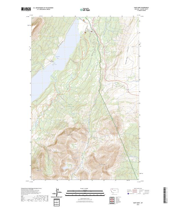
2024 Map of Saint Mary
USGS Topo · Published 2024About this map
Glacier National Park dominates this high-altitude landscape, where the waters of Saint Mary Lake meet the dramatic rise of the Rocky Mountains. The infrastructure of early 21st-century conservation and tourism is evident, centered on the iconic Going-To-The-Sun Road as it winds along the northern shore and past Two Dog Flats. This area serves as a critical hydrological junction, where Divide Creek and Fox Creek drain the slopes of Saint Mary Ridge toward the South Fork Milk River and the Atlantic drainage, while the western reaches follow the Continental Divide.
Find a feature on this map
33 named features on this map. Tap any name to fly to it.
Don’t see what you’re looking for? This feature index may not catch every label — zoom into the map to look around manually.
Map Details
Editions of this 2024 Saint Mary Map
This is the sole edition of this map. No revisions or reprints were ever made.
Other maps of this area

1901 · Browning
USGS Topo · 1:125,000

1903 · Browning
USGS Topo · 1:125,000

1904 · Chief Mountain
USGS Topo · 1:125,000

1938 · Chief Mountain
USGS Topo · 1:125,000

1960 · Cut Bank
USGS Topo · 1:250,000

1963 · Cut Bank
USGS Topo · 1:250,000

1964 · Cut Bank
USGS Topo · 1:250,000

1968 · Saint Mary
USGS Topo · 1:24,000

1968 · Babb
USGS Topo · 1:24,000

1968 · Josephine
USGS Topo · 1:24,000