
1906 Map of Saint Marys
USGS Topo · Published 1906About this map
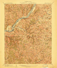
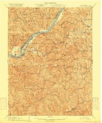
St Marys serves as the focal point along the Ohio River in this early twentieth-century survey, positioned where the Baltimore and Ohio RR hugs the riverbank. The landscape is defined by the sharp transition from the broad river valley and its prominent islands, Grape Island and Middle Island, to the intricate network of steep ridges and narrow runs that characterize the West Virginia interior. The transportation of the era is evident in the Pike and Turnpike roads that wind through the hills, connecting isolated rural hubs.
Find a feature on this map
136 named features on this map. Tap any name to fly to it.
Don’t see what you’re looking for? This feature index may not catch every label — zoom into the map to look around manually.
Map Details
Editions of this 1906 Saint Marys Map
3 editions found
Other maps of this area

1903 · Macksburg
USGS Topo · 1:62,500

1904 · Marietta
USGS Topo · 1:62,500

1905 · West Union
USGS Topo · 1:62,500

1905 · New Matamoras
USGS Topo · 1:62,500

1905 · Macksburg
USGS Topo · 1:62,500

1906 · Holbrook
USGS Topo · 1:62,500

1906 · Elizabeth
USGS Topo · 1:62,500

1906 · New Martinsville
USGS Topo · 1:62,500

1907 · Harrisville
USGS Topo · 1:62,500

1924 · St Marys
USGS Topo · 1:62,500