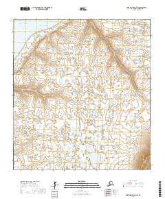
2017 Map of Saint Michael A-2 SW
USGS Topo · Published 2017About this map
Coffee Point stands as a prominent coastal feature on this subarctic landscape where the Pacific Ocean meets the waters of Norton Sound. This coastal area is defined by a dense network of wetlands and tundra ponds, characteristic of the Yukon-Kuskokwim Delta region. The map reveals the intricate hydrology of the shoreline, punctuated by the winding course of Charley Green Cr as it flows toward the sea. The landscape is primarily defined by its low-lying, water-dominated terrain, showing the transition from the marine environment into the vast interior wetlands. The absence of significant road infrastructure underscores the reliance on waterways and coastal points for navigation and seasonal movement in this part of Alaska.
Find a feature on this map
13 named features on this map. Tap any name to fly to it.
Don’t see what you’re looking for? This feature index may not catch every label — zoom into the map to look around manually.
Map Details
Editions of this 2017 Saint Michael A-2 SW Map
This is the sole edition of this map. No revisions or reprints were ever made.
Other maps of this area

1951 · St Michael
USGS Topo · 1:250,000

1952 · Kwiguk
USGS Topo · 1:250,000

1952 · Kwiguk D-2
USGS Topo · 1:63,360

1952 · Kwiguk D-3
USGS Topo · 1:63,360
1952 · Saint Michael A-3
USGS Topo · 1:63,360

1952 · Saint Michael A-2
USGS Topo · 1:63,360

1952 · St Michael
USGS Topo · 1:250,000

1964 · St. Michael
USGS Topo · 1:250,000
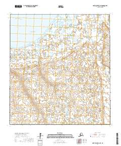
2017 · Saint Michael A-2 NE
USGS Topo · 1:25,000
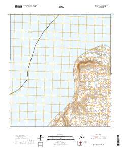
2017 · Saint Michael A-2 NW
USGS Topo · 1:25,000