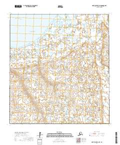
2017 Map of Saint Michael A-2 NE
USGS Topo · Published 2017About this map
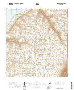
Pikmiktalik sits at the northern edge of this coastal landscape where the Pikmiktalik River meets the waters of Norton Sound. This 2017 study illustrates a complex delta environment characterized by an intricate network of wetlands and small water bodies typical of the Kusilvak Census Area. The terrain is defined by the transition from the Pacific Ocean into the marshy coastal lowlands, where the Kogok River also meanders through the southeastern portion of the quadrangle. The map captures the remote character of this region, providing a modern look at the waterways and land divisions under the Public Land Survey System, including t26s r21w and t27s r20w.
Find a feature on this map
9 named features on this map. Tap any name to fly to it.
Don’t see what you’re looking for? This feature index may not catch every label — zoom into the map to look around manually.
Map Details
Editions of this 2017 Saint Michael A-2 NE Map
This is the sole edition of this map. No revisions or reprints were ever made.
Other maps of this area

1951 · St Michael
USGS Topo · 1:250,000
1952 · Saint Michael B-2
USGS Topo · 1:63,360

1952 · Saint Michael B-1
USGS Topo · 1:63,360

1952 · Saint Michael A-1
USGS Topo · 1:63,360

1952 · Saint Michael A-2
USGS Topo · 1:63,360

1952 · St Michael
USGS Topo · 1:250,000

1964 · St. Michael
USGS Topo · 1:250,000
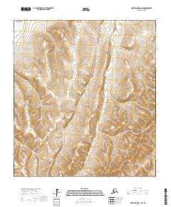
2017 · Saint Michael A-1 SW
USGS Topo · 1:25,000
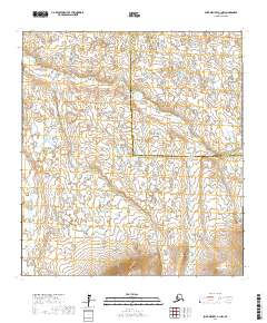
2017 · Saint Michael A-1 NW
USGS Topo · 1:25,000
2017 · Saint Michael A-2 SW
USGS Topo · 1:25,000