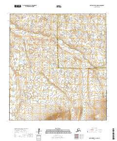
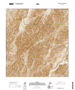
2017 Map of Saint Michael A-1 NW
USGS Topo · Published 2017About this map
The Kogok River and Pikmiktalik River define this remote expanse of the Alaskan tundra, where water and land exist in a complex, braided relationship. This 2017 survey illustrates the intricate network of lakes, ponds, and wetlands that characterize the drainage basin. The landscape is marked by the administrative boundary between the Kusilvak Census Area and the Nome Census Area, a line that cuts across the natural flow of the local river systems. Unlike many maps of the American West, this region lacks the grid of roads and settlements, reflecting the preservation of a landscape dictated by seasonal freeze and thaw rather than industrial development. Researchers can observe how the rivers wind through townships t26s r20w and t26s r19w, revealing the shifting hydrologic patterns of the Alaskan coastal plain.
Find a feature on this map
8 named features on this map. Tap any name to fly to it.
Don’t see what you’re looking for? This feature index may not catch every label — zoom into the map to look around manually.
Map Details
Editions of this 2017 Saint Michael A-1 NW Map
This is the sole edition of this map. No revisions or reprints were ever made.
Other maps of this area

1951 · St Michael
USGS Topo · 1:250,000
1952 · Saint Michael B-2
USGS Topo · 1:63,360

1952 · Saint Michael B-1
USGS Topo · 1:63,360

1952 · Saint Michael A-1
USGS Topo · 1:63,360

1952 · Saint Michael A-2
USGS Topo · 1:63,360

1952 · St Michael
USGS Topo · 1:250,000

1964 · St. Michael
USGS Topo · 1:250,000
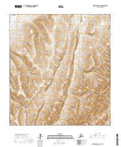
2017 · Saint Michael A-1 SW
USGS Topo · 1:25,000
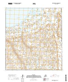
2017 · Saint Michael A-2 NE
USGS Topo · 1:25,000
2017 · Saint Michael A-1 SE
USGS Topo · 1:25,000