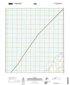
2020 Map of Saint Michael A-6 NE
USGS Topo · Published 2020About this map
Norton Sound dominates this coastal survey, where the open waters of the Bering Sea meet the complex tidal environment of the Yukon-Kuskokwim Delta. The map focuses on a transitional maritime area where the mainland shore is characterized by a dense network of wetlands and small waterways. A primary navigational and hydrological feature is Kochiuk Pass, which winds through the southern portion of the sheet. The survey also documents the Public Land Survey System grid for t27s r31w, showing how these remote Alaskan territories were partitioned despite the challenging amphibious landscape. The detailed wetland data from the U.S. Fish and Wildlife Service highlights the seasonally flooded nature of this shoreline.
Find a feature on this map
3 named features on this map. Tap any name to fly to it.
Don’t see what you’re looking for? This feature index may not catch every label — zoom into the map to look around manually.
Map Details
Editions of this 2020 Saint Michael A-6 NE Map
This is the sole edition of this map. No revisions or reprints were ever made.
Other maps of this area

1951 · St Michael
USGS Topo · 1:250,000

1952 · Saint Michael A-5
USGS Topo · 1:63,360
1952 · Saint Michael A-6
USGS Topo · 1:63,360

1952 · St Michael
USGS Topo · 1:250,000

1964 · St. Michael
USGS Topo · 1:250,000
2020 · Saint Michael A-5 SW
USGS Topo · 1:25,000
2020 · Saint Michael A-6 SW
USGS Topo · 1:25,000
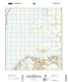
2020 · Saint Michael A-6 SE
USGS Topo · 1:25,000
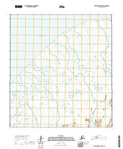
2020 · Saint Michael A-5 NW
USGS Topo · 1:25,000