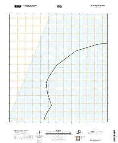
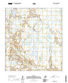
2020 Map of Saint Michael A-6 SW
USGS Topo · Published 2020About this map
The Bering Sea dominates the western half of this coastal section of the Kusilvak Census Area, where the shoreline meets a grid of public land surveys. The interior landscape is defined by the rectangular subdivisions of T28s R32w and T29s R32w, reflecting the systematic Bureau of Land Management surveying of the Alaskan wilderness. This area is notably sparse, lacking named land features, settlements, or infrastructure, which highlights the remote nature of the coast during this 2020 survey. The transition from marine environment to terrestrial survey blocks serves as a primary reference for property and boundary research in this part of the state.
Find a feature on this map
26 named features on this map. Tap any name to fly to it.
Don’t see what you’re looking for? This feature index may not catch every label — zoom into the map to look around manually.
Map Details
Editions of this 2020 Saint Michael A-6 SW Map
This is the sole edition of this map. No revisions or reprints were ever made.
Other maps of this area

1951 · Black
USGS Topo · 1:250,000

1951 · St Michael
USGS Topo · 1:250,000

1952 · Kwiguk
USGS Topo · 1:250,000
1952 · Saint Michael A-6
USGS Topo · 1:63,360

1952 · Kwiguk D-6
USGS Topo · 1:63,360

1952 · St Michael
USGS Topo · 1:250,000

1964 · St. Michael
USGS Topo · 1:250,000
2020 · Saint Michael A-6 SE
USGS Topo · 1:25,000
2020 · Saint Michael A-6 NE
USGS Topo · 1:25,000
2020 · Kwiguk D-6 NE
USGS Topo · 1:25,000