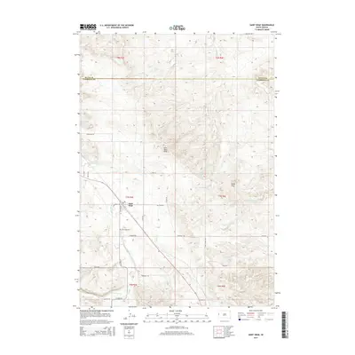
2015 Map of Saint Onge
USGS Topo · Published 2015About this map
Saint Onge sits at the heart of this Lawrence County landscape, established in a drainage basin where several watercourses converge. The settlement is defined by its proximity to False Bottom Cr and the nearby Saint Onge Peak, which rises to the north. This 2015 survey illustrates a rural infrastructure centered on the village and its local Po, with the Saint Onge Cem located just to the south.
Find a feature on this map
36 named features on this map. Tap any name to fly to it.
Don’t see what you’re looking for? This feature index may not catch every label — zoom into the map to look around manually.
Map Details
Editions of this 2015 Saint Onge Map
This is the sole edition of this map. No revisions or reprints were ever made.
Other maps of this area

1894 · Deadwood
USGS Topo · 1:125,000

1899 · Sturgis
USGS Topo · 1:62,500

1900 · Spearfish
USGS Topo · 1:62,500

1901 · Deadwood
USGS Topo · 1:125,000

1905 · Saint Onge
USGS Topo · 1:62,500

1907 · Belle Fourche
USGS Topo · 1:125,000

1907 · Redwater
USGS Topo · 1:62,500

1915 · Spearfish
USGS Topo · 1:62,500

1915 · Sturgis
USGS Topo · 1:62,500

1916 · Deadwood
USGS Topo · 1:125,000